
Sources for Muhlenberg Township Neighbors by Block
Public records show different slices of a Muhlenberg Township block. The GIS or tax map supplies the geography. A property card supplies the current assessment-owner and address fields for one parcel. A deed supplies title and legal-description context. Township meeting material documents public civic action. None of those sources becomes a complete household list. The useful distinction is between a parcel owner, a mailing address, a site location, and the people who may be present at an address.
| Block Source | What It Shows About Nearby Parcels | Access and Limit |
|---|---|---|
| Berks GIS and tax maps | Parcel boundaries, visible adjacency, map sheets, and UPI context | Geographic relationship only |
| Assessment card by UPI | Site location, assessment owner, mailing field, sales reference | One parcel at a time, not a household roster |
| Recorder document chain | Recorded parties, title sequence, legal description, plans | Historic address may need a UPI or plan bridge |
| Election Street List | Controlled voter-administration data by street | Formal request, affirmation, and no online posting |
| Township boards and minutes | Public civic participation and land-use decisions | Not an association membership directory |
| History Center indexes | Historical church or cemetery context | Research access, not a current block roster |
The county did not provide an official one-click neighbor roster or a buffer result framed as a residents list. Nearby assessment owners and people actually at an address are different groups. Note: use the municipal field and UPI, not only a Reading or Temple postal label, to keep each parcel in the right township context.
Map Muhlenberg Township Neighbors Parcel by Parcel
The reliable block method moves from map to UPI to a single assessment card, then back to the map. It deliberately stops at parcel and assessment-owner evidence. The map supplies the frame around a target address, but the property card holds the current owner and mailing fields. Keep a source-date log because parcel boundaries and county data can change after a new plan, survey, correction, or deed.
- Find the target address in the county’s map view or property portal. Confirm that the parcel’s municipality is Muhlenberg Township, then record its UPI.
- Use the map to identify each touching or visibly nearby parcel. Record each UPI rather than relying on an abbreviated map label.
- Search each UPI in the assessment portal. Compare site location, owner fields, mailing field, sale reference, and date as they appear on the individual card.
- Return to the map for the next parcel. If a boundary or ownership sequence needs explanation, use the Recorder reference, plan, or legal description.
This method is intentionally narrower than a street-wide search. For a longer address chain along a named road, the Muhlenberg Township street directory follows the separate by-street workflow.
Muhlenberg Township Needs Maps and Cards
Berks Mapping explains why a parcel map and an assessment card must be used together. County tax maps show parcel lines, not static owner names. The county maintains 1,409 standard tax maps, and it updates maps for new lots, correction evidence, plans, deeds, surveys, and subdivisions. One parcel can involve more than one sheet. Map acreage can also differ from deed acreage, and a map is not a survey.
| County map | Shows parcel edges and spatial context. It is the best first view for adjacent land, not a list of people. |
|---|---|
| Property card | Shows the current assessment-owner block, site location, mailing address, assessment, sales, and available map or sketch links. |
| Recorded deed | Provides recorded party roles, date, legal description, and plan or book references that can explain the parcel link. |
The card’s site location is the parcel’s situs. Its mailing address is where assessment correspondence goes and may be somewhere else. Neither field establishes every person connected with the address. This distinction is the central myth to avoid when comparing nearby parcels from public records.
Deeds Define Adjacent Muhlenberg Township Parcels
When a visible boundary needs more context, start with the sales or deed fields on the assessment card. A current record can show a sale date, sale price, validity code, instrument number, or deed book and page. Search that reference in the Recorder’s official system. The deed can supply grantor and grantee names, a legal description, and references to an earlier instrument or plan. Follow the cited predecessor reference rather than assuming the current street string was always the historic key.
Legal descriptions may use metes and bounds, which are bearings and distances, or incorporate an earlier deed or recorded plan. A lot number and plan book can bridge an address change. For older material, the Recorder’s Index Books are recommended for pre-1926 deeds and mortgages, with party last name plus first initial or organization name. Similar-sound indexing can help where historic spelling varies.
Deeds describe title, not social ties. A parcel that touches another parcel can reflect a subdivision, easement, highway plan, or corrected boundary without saying anything about a personal connection between the people associated with the two records.
Controlled Street Lists for Muhlenberg Township
Pennsylvania’s Street List is a controlled election record, not an open online browse tool. It can contain name, residence address, mailing address, party, and status for registered voters on a street. Berks Election Services is the local route for the Request for Public Information form. State rules set a $20 electronic fee per county for the listed voter products, and the requester signs an affirmation about lawful, restricted use.
The state form bars internet publication and prohibits unrelated, commercial, or improper use. A Street List covers voter administration only. It cannot identify every household member, minor, protected voter, or current presence at an address. The personal voter-status service is for an individual checking that person’s own status, so it is not a substitute for the controlled product.
Berks Election Services is at 633 Court Street in Reading and can be reached at 610-478-6490. Its official office page provides the local election administration route. Note: preserve the form and list provenance if a use question or potential misuse must be referred back to the elections office.
Muhlenberg Township Civic and Historical Contacts
No official current inventory of homeowner groups, neighborhood associations, or member rosters was located in the Muhlenberg Township research. That absence matters. Public boards, agendas, and minutes can show civic decisions and land-use context, but they do not verify membership in a private group. For historical community questions, the library and History Center are the more honest entry points.
| Public or Historical Route | How to Reach It | What It Can Support |
|---|---|---|
| Muhlenberg Township boards and minutes | Township records-request route or public meeting material | Public civic action, projects, and address context, not private membership |
| Muhlenberg Community Library | 3612 Kutztown Road, Laureldale; 610-929-0589 | Local-history collection and a pass route to regional research |
| Berks History Center / Henry Janssen Library | Catalog and research access; appointment Wednesday through Saturday, 9 to 3 | Church records, cemetery index, Passing Scene Index, and library holdings for historical context |
History Center records can help place a church, cemetery, or family-history reference in time. They do not create a verified list of people currently living near a parcel. The Community Library’s local-history collection and History Center pass provide the local-to-regional path when a current parcel record turns into a historical question.
Megan’s Law Is Not a Neighbor Directory
The Pennsylvania State Police Megan’s Law site is a public-protection registry with its own terms, consent screen, and legal limits. It is not a generic neighbor-search tool. The official terms warn that threatening, intimidating, harassing, or other misuse may lead to criminal or civil liability. Available registry information is not comprehensive, can be inaccurate or outdated, and fingerprint comparison is the only positive identification method identified by the site.
The Pennsylvania State Police Megan’s Law public site is provided for public-protection purposes and requires consent before its search tools are used.
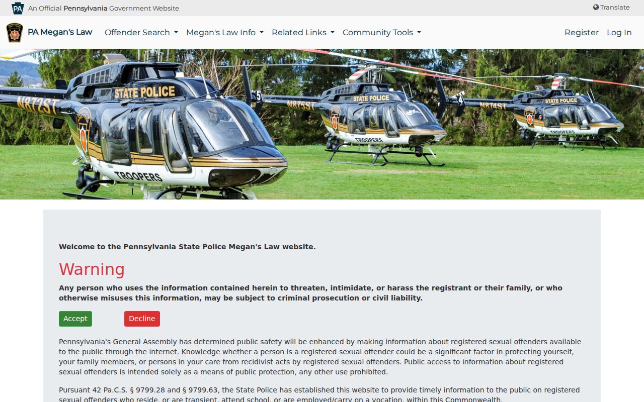
The consent requirement and the site’s completeness warning are reasons to use this registry only within its stated public-protection purpose.
Do not use a registry result to confront, watch, contact, or harass a person. A source of public safety information is not proof of identity or a substitute for immediate law-enforcement help when there is a threat.
Privacy Limits on a Muhlenberg Township Block
Public parcel records stop short of private household information. They do not establish all people at a property, minor information, utility accounts, delivery accounts, DMV addresses, or a protected person’s location. Pennsylvania’s Address Confidentiality Program allows eligible participants to use a substitute address for court, driver, vehicle, voter, school, marriage-license, and utility records. Its purpose is safety, and it renews every three years.
The Pennsylvania Address Confidentiality Program explains its eligibility, protected record types, application channels, and renewal period.
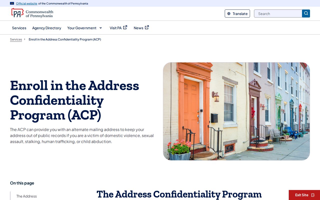
The program is a clear reason not to try to infer a protected address from maps, cards, voter information, or court references.
| Official county sources | Parcel maps, property cards, recorded deeds, and controlled election products provide record-specific facts with stated limits. |
|---|---|
| Compiled neighbor tools | They can contain stale or misattributed data and do not replace the office that owns the original record. |
| Corrective path | Ask the exact custodian for its correction or redaction process, and retain the office response or reference number. |
Lawful use. Muhlenberg Township block research is for personal, lawful property and civic context. Never use public information to stalk, harass, intimidate, or harm anyone.